The Scenic Route: The Wild Atlantic Way
- Karelli, Office Intern
- Apr 29, 2025
- 3 min read
What is The Wild Atlantic Way?
The Wild Atlantic Way, spanning 2,600 km, is among the world's longest coastal routes. Stretching across Ireland's west coast, it begins at the Inishowen Peninsula in the north of Ireland and concludes in the charming town of Kinsale, County Cork, in the south. A journey filled with natural beauty, cultural richness and tradition.
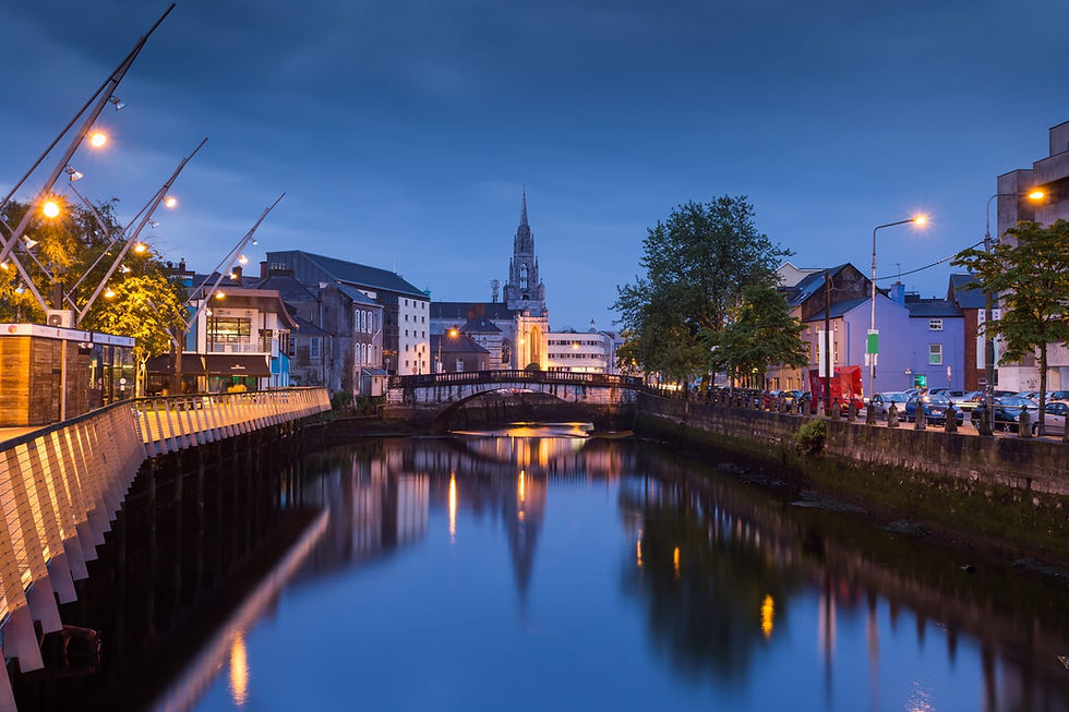
Ireland's Wild Atlantic Way traces the rugged west coast of Ireland on the outer edge of Europe. Starting at the Inishowen Peninsula in County Donegal, it courses through counties such as Leitrim, Sligo, Mayo, Galway, Clare, Limerick, and Kerry before concluding in Kinsale, County Cork. Spanning over 2,600 km, this stunning route is thoughtfully divided into 14 stages for optimal exploration of The Emerald Isle, allowing the explorer to take it all in.
The Wild Atlantic Way reveals the raw beauty of the Irish landscape, the untamed power of the Atlantic, and the vibrant diversity of Ireland's green countryside. This coastal road is stamped with homely villages and ancient monuments, whose histories have faded into obscurity. Around every bend in the road, a unique sight awaits to captivate the masses.
The untamed Wild Atlantic has been weathering Ireland's west coast for centuries, shaping a rugged landscape of towering cliffs, enchanting bays, pristine beaches, and mystical islands. It's ever-changing nature reflects a push and pull interplay between water and land. Life along this robust coastline, with the ocean as a welcomed companion, has protected Ireland’s ancient traditions while also attracting new admirers. Traveling the Wild Atlantic Way is more than a scenic journey, it is a visual display of Ireland’s history and culture

How many days does it take to do the Wild Atlantic Way?
Most travellers take around 3 to 5 days to drive the entire Wild Atlantic Way, but the journey can easily be extended to a week or two, if you would like to delve deeper into the coast of Ireland. Another approach is to explore the route in smaller sections, this way you can dedicate more meaningful time to each destination, without the rush to move on to the next stop on the list. Either way, each destination offers a different aspect of the Irish landscape, from breath-taking sea cliffs, lighthouses and piers to Irish-speaking regions and UNESCO sites.
The 14 stops along The Wild Atlantic Way
Malin Head (County Donegal) – The northernmost point of Ireland
Fanad Head (County Donegal) – Home to a beautiful lighthouse
Slieve League Cliffs (County Donegal) – Some of the highest sea cliffs in Europe
Mullaghmore Head (County Sligo)
Downpatrick Head (County Mayo)
Keem Bay (Achill Island, County Mayo)
Killary Harbour (County Galway) – Ireland’s only fjord
Derrigimlagh Bog (County Galway)
Cliffs of Moher (County Clare) – 214m-high cliffs over the Atlantic
Loop Head (County Clare)
Blasket Islands (viewed from Dunquin Pier, County Kerry)
Skellig Michael (County Kerry) – A UNESCO site, ancient monastery (and a Star Wars location!)
Dursey Island (County Cork) – Reach it via Ireland’s only cable car over the sea!
Mizen Head (County Cork) – The southwestern most point

What is the best time of year to do the Wild Atlantic Way?
The Wild Atlantic Way can be explored year-round, but summer months (June, July, and August) offer a greater chance for nice weather and more sunlight, making them ideal for long days of exploration. For a quieter experience, consider visiting in the more low-key months of April, May, September, or October. During these times, you can enjoy the beauty of the route with fewer crowds while still experiencing relatively mild weather. Ireland is certainly not known for it's good weather, be sure to pack a rain coat if you are thinking of travelling along the Wild Atlantic Way!